Where cargoes were transshipped between Severn barges and the longer and narrower Thames barges.
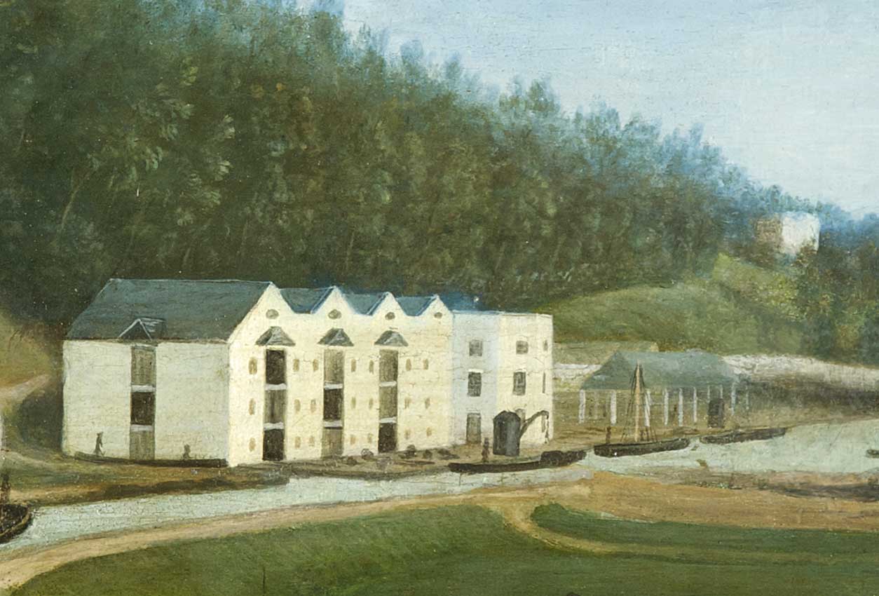
Brimscombe Basin was created as a place where cargoes could be transshipped between Severn barges that fitted the canal locks to the west and the longer and narrower Thames barges that fitted the locks to the east.
A fine block of four warehouses provided storage for dry goods in transit, an open long shed stored timber under cover and an island in the middle of the basin gave some security for storing coal (off picture to the right).
The basin was surrounded by a wall, visible in the right foreground and behind the Long Shed. The first crane was a cumbersome wooden structure from Bristol.

This view of the basin from the west shows coal piled on the island and on the nearer Retail Wharf, where coal was sold for local use. Two barges are moored in the narrow channel between the two. In the background is Bourne Bridge, Bourne Mill and a salt warehouse built on the island.
Port House (on the right) provided accommodation for the Canal Company’s agent and visitors. These included officials from the company’s London office and shareholders attending meetings. The house was seldom fully used, and it was sold in 1807.
Behind the house can be seen glimpses of the Port Mill, which the Company had purchased to secure its associated land. The mill was also sold in 1807.
The development of trade through the basin initially triggered more buildings in the valley, but the boom did not last.
New vessels evolved that could pass through the locks both to the east and to the west, and the need for transshipment gradually died out. Also, the level of traffic was badly affected by the development of local railways.
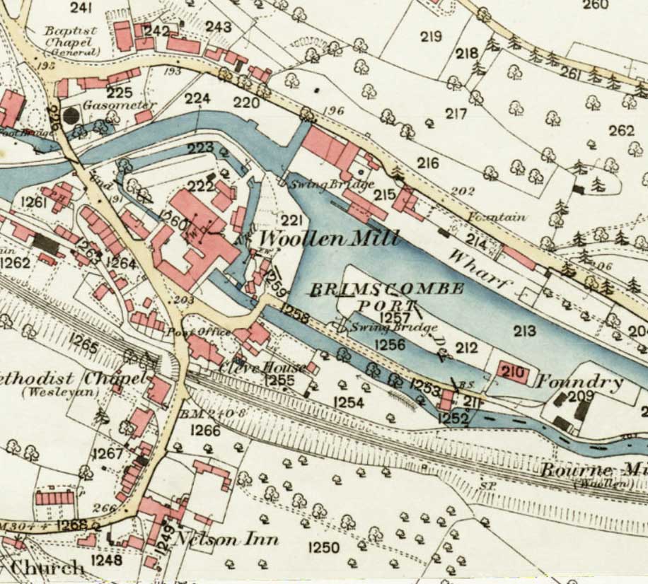
By the end of the nineteenth century, therefore, the Company had few employees at Brimscombe, and the community surrounding the basin was more closely tied to local industries, such as Port Mill (labelled Wollen Mill on the map).
Long Shed built 1800 (TS/164b) and enclosed 1810 (TS/164c).
Bristol crane from TS/164a p196.
Sale of Port House and Port Mill from TS/194/91a.