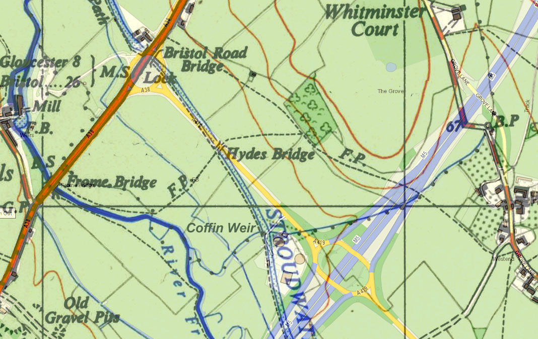
The name Missing Mile was given to the section of canal between Bristol Road Lock and Westfield Bridge after it was infilled during the construction of the M5 motorway c1970.
This section of canal did not pass any habitation - just pasture and some arable fields associated with farms in the nearby village of Whitminster. The canal was a source of drinking water for cattle and it provided a place for washing sheep. In 1932, canal water also came to the rescue when a nearby hay rick caught fire and local people formed a human chain to pass buckets from the canal to put it out.
One exception to this rural theme was the building of a barge for a local owner in a field near the Bristol Road in 1858. Unfortunately, after the barge was launched across the towpath, it became stuck in Bristol Road Lock, and the owner had to obtain permission from the Stroudwater Company to remove one of the gates to let the vessel through.
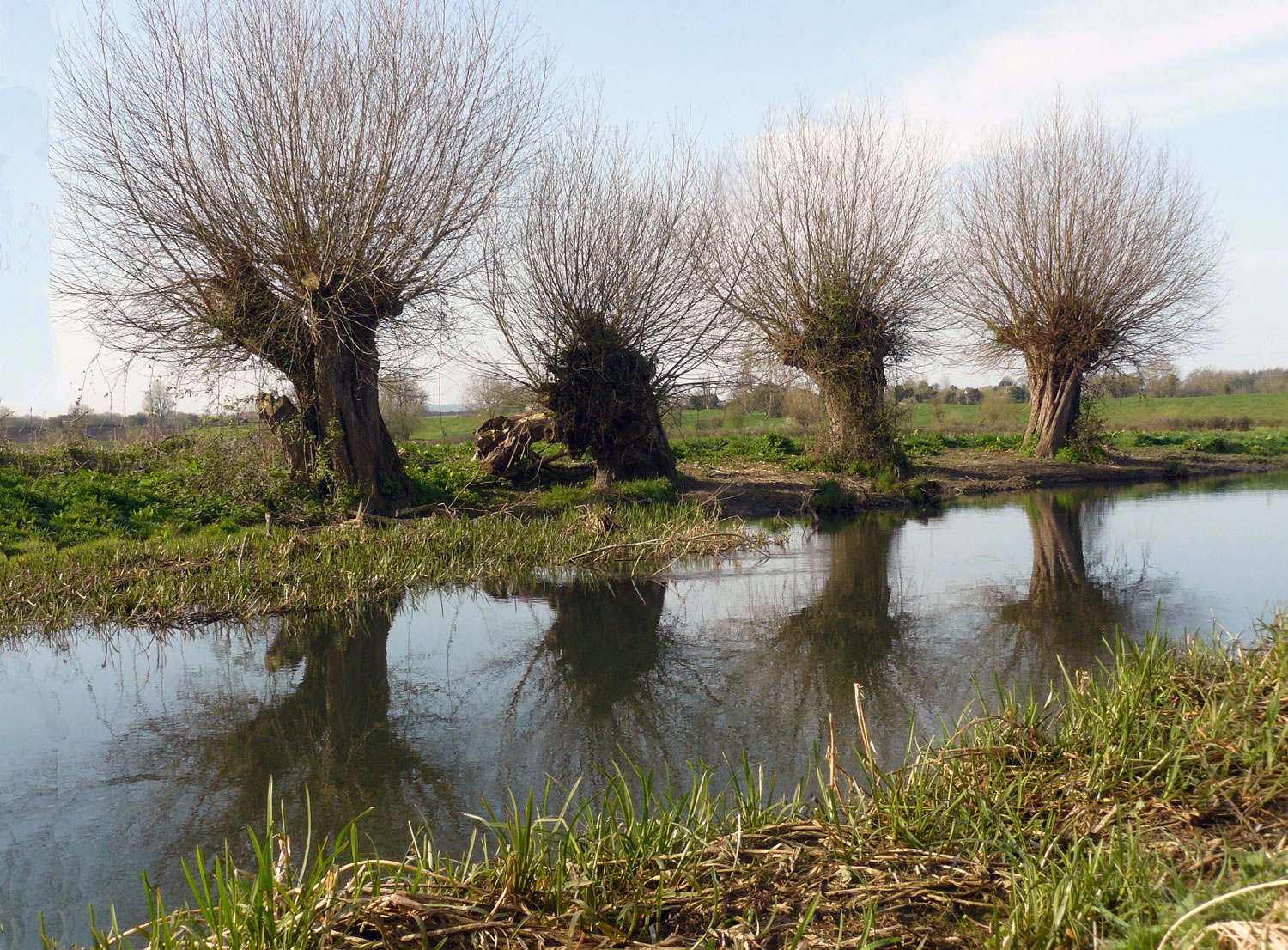
Willow trees growing beside the river were often pollarded to produce withies for making baskets, which were widely used for transporting fruit and vegetables etc. Local basket makers arranged for bundles of cut withies to be collected by boat, sometimes as an extra to the boat’s main cargo and not always declared to the toll collector.
Some of the small fields beside the river had curious names. Just to the north of the later motorway embankment was Pancake Meadow, probably a reference to the shape of the former river meander that surrounded it. Nearby was Abigail’s Mead, apparently named after the daughter of the Lord of the Manor of Eastington in the seventeenth century who features in the story of the ghost of Chavenage.
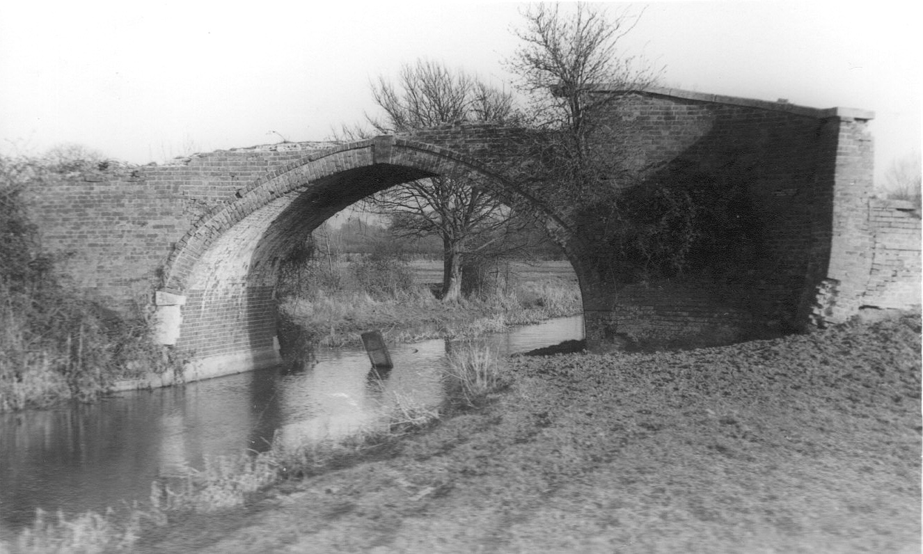
The main structure along this length was Hydes Bridge (350 yards from the Bristol Road) which provided the local farmer with a link between his fields on either side of the canal. It took its name from two nearby fields: Hither Hydes and Nether Hydes.
A further 300 yards to the south-east was Coffin Weir, where a stream flowed into the canal and the spill weir opposite was in the shape of a coffin. The land around where the stream entered the canal became a marsh, and withy trees growing there produced material for basket making.
Below the site of Coffin Weir, a stone structure in the valley drain is the remains of a small aqueduct which used to carry the stream from Coffin Weir over the valley drain on its way to the River Frome.
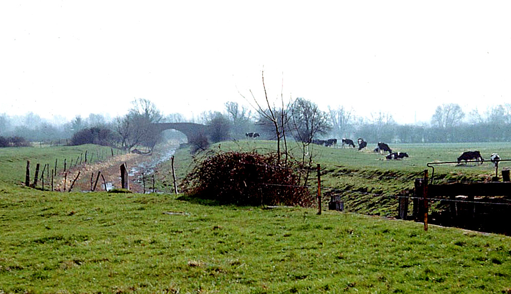
A few years after the closure of the canal in 1954, the gates at Bristol Road Lock collapsed and the canal across the fields became a muddy open ditch with a small flow of water in the bottom. As this was a hazard to cattle, the Canal Directors felt obliged to spend money building a concrete dam across the lock to restore the water level. This was also for the benefit of local anglers, but then the Directors found they had to spend more money trying to kill the reeds that filled the canal.
When proposals for the motorway were circulated in the early 1960s, the Company Secretary initially asked the Ministry of Transport whether his maintenance man would be permitted to cross the motorway on foot in the course of his duties. After the Ministry answered that he would only be able to cross at the proposed link road bridges, the Company readily accepted that the canal channel across the fields should be filled in and the acreage given to the farmers as some compensation for the land they would loose to the road building.
For the current restoration project, a new channel will be dug across the fields and two new locks will be built so the canal can pass through the existing arch under the motorway alongside the River Frome.
Dowsing the rick fire from Gloucester Journal 13 Aug 1932.
Barge stuck in Bristol Road Lock from D1180/1/5 p259.
Field names from Eastington Tithe Apportionment.
Abigail Stephens was the daughter of Nathaniel Stephens who reluctanly supported the execution of Charles I.
Withy transport from John Stockbridge.
Information on Coffin Weir from Geoffrey Martin.
Aqueduct below Coffin Weir shown on plan in file D1180/9/54.
Re-watering the canal in the early 1960s from file D1180/9/54.
Acceptance of infilling the canal from file D1180/9/54, Letter 10 May 1962.